Skip to content
Locamage

The universal geospatial model

Ask any place what changed.

Point Locamage at imagery from any satellite, plane or drone and ask your question the way you'd ask a colleague. It looks at the ground and tells you what's there.

Reads opticalradarhyperspectralelevationrevisits

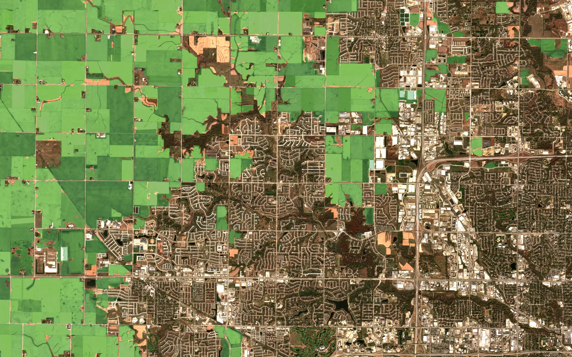
Sentinel-2· Iowa · Oct 202410 m/px · field boundaries
Sentinel-2 image of the farmland and suburbs west of Des Moines, Iowa, in October 2024, with every crop field picked out in greenContains modified Copernicus Sentinel data 2024 · USDA NASS Cropland Data Layer

Question

Where does each field end?

One October pass, every field traced. Harvested or still standing, each outline follows where the crop actually stops rather than the survey grid, and it carries over to the next pass.

Sensor
Sentinel-2
Place
Iowa
Pass
Oct 2024
Resolution
10 m/px
Output
Field boundaries

Works with the imagery you already have

20222012USDA NAIP

What it does

One model for the questions you actually ask.

Mapping, crop checks, search, change over time and measurement. It's the same model every time, whatever took the picture.

Aerial view of Lohur with every building picked out in blueFAZO Institute, CC BY 4.0 · OpenEarthMap labels

01 · Map

What is on this land?

Every rooftop, road, field and pond gets labeled and measured, so you can check it against a permit or an insurance claim.

  • optical
  • radar
  • elevation

Land cover · Buildings · Roads

Aerial view of farmland around Aachen with agricultural parcels marked in blueLand NRW, dl-de/by-2-0 · OpenEarthMap labels

02 · Monitor

Are the crops okay?

It looks at every field the way an agronomist would, all of them, every week. You hear about stressed or patchy crops while there's still time to do something.

  • optical
  • hyperspectral
  • revisits

Crops · Forests · Water

Aerial view of Dhaka with every pond marked in blueAIGEO Center, CC BY 4.0 · OpenEarthMap labels

03 · Find

Where are all the ponds?

Tell it what you're looking for, whether that's ponds, solar panels or new construction. It checks every acre and marks what it finds.

  • optical
  • elevation

Water · Solar · Construction

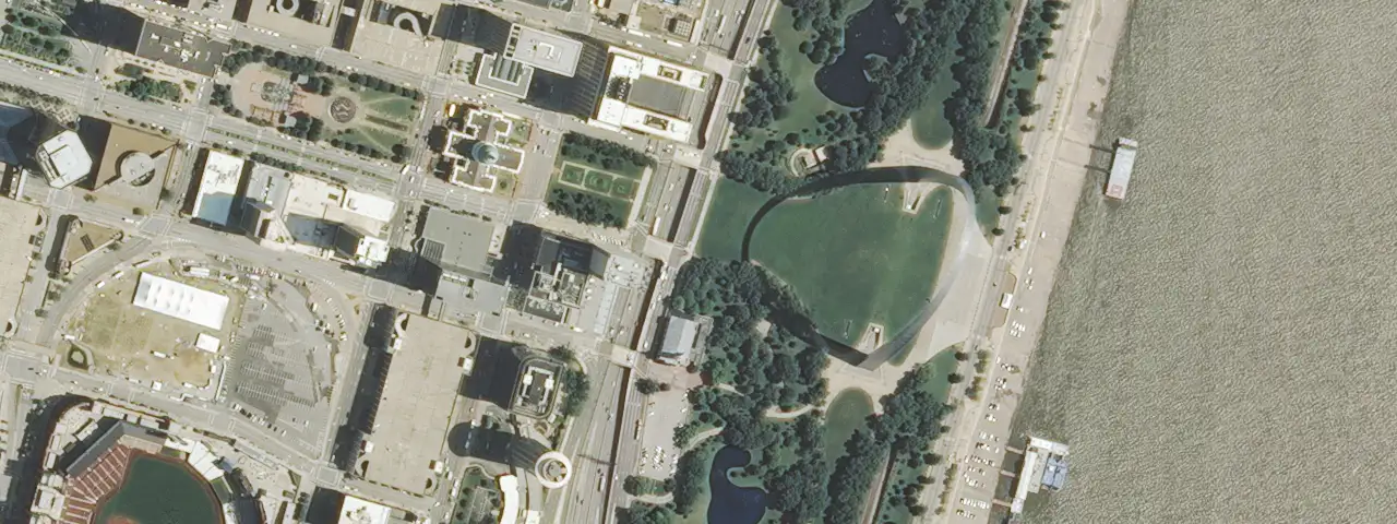
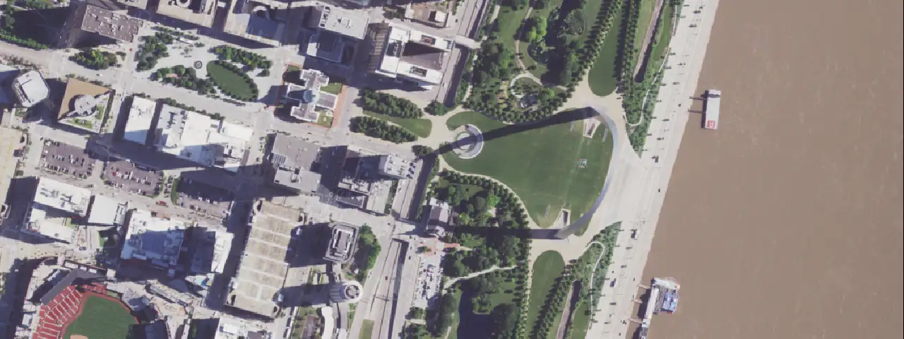
Aerial view of Leander, Texas, in 2022 with everything built since 2012 marked in blueUSDA NAIP 2012 and 2022

04 · Compare

What changed since March?

Give it two dates, or your whole archive, and it outlines what really changed. Clouds and shadows don't count.

  • optical
  • radar
  • revisits

Two dates · Whole archive

Aerial view near Dortmund with tree cover marked in blueLand NRW, dl-de/by-2-0 · OpenEarthMap labels

05 · Measure

How much forest came back?

Some questions need a number. You get the number, along with the map it came from.

  • optical
  • hyperspectral
  • elevation

Acres · Biomass · Extent

The model

Every sensor, combined into one picture of each place.

No single sensor sees everything. Locamage reads them all together and sums up each spot on Earth in one embedding, a compact description that holds everything they saw.

  1. Aerial

    Sharp enough to count cars, but only flown every few years.

  2. Optical

    Sees what you would see, until a cloud rolls in.

  3. Multispectral

    Picks up the infrared light that shows how plants and water are doing.

  4. Thermal

    Feels the heat coming off slopes, roofs and roads.

  5. Radar

    Sees through cloud, smoke and the dark.

  6. Elevation

    Knows the hills from the hollows.

  7. One summary of each spot

    Each sensor fills in what the others miss.

What the model knows about the circled spot in Jackson, Wyoming

USDA NAIP · Contains modified Copernicus Sentinel data 2023 · Landsat and 3DEP courtesy of the U.S. Geological Survey · © ESA WorldCover project 2021

Works where the maps run out

It learned from the whole planet, so places nobody has surveyed get the same care as the ones everybody has.

Speaks your language

Show it a few examples of what you care about and it finds the rest, labeled your way.

Your archive starts paying off

The imagery you already pay to store becomes a searchable history of every acre.

Request access

Somewhere in orbit there is a picture of your problem.

Tell us what imagery you have and what you need to know. We'll tell you honestly whether Locamage can help.