
On Monday we launched Finch 1, and yesterday we showed what it sees in a single image. Today is about time: the same fields, read again and again through a season.
The example below comes from the test set of a public benchmark. Finch stays frozen, and a single linear layer turns its embeddings into the map.
 Finch 1, whole seasonImagery
PASTIS, Sentinel-2, 10 m
Crops through a season
Eastern France
meadow
soft winter wheat
corn
winter barley
sunflower
beet
winter triticale
fruits, vegetables, flowers
potatoes
leguminous fodder
soybeans
mixed cereal
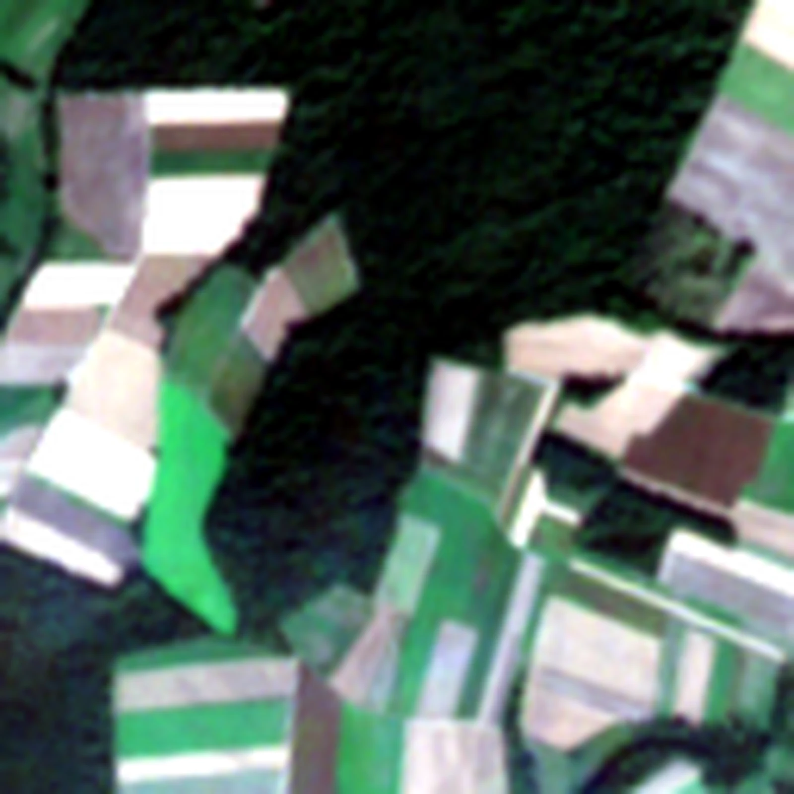
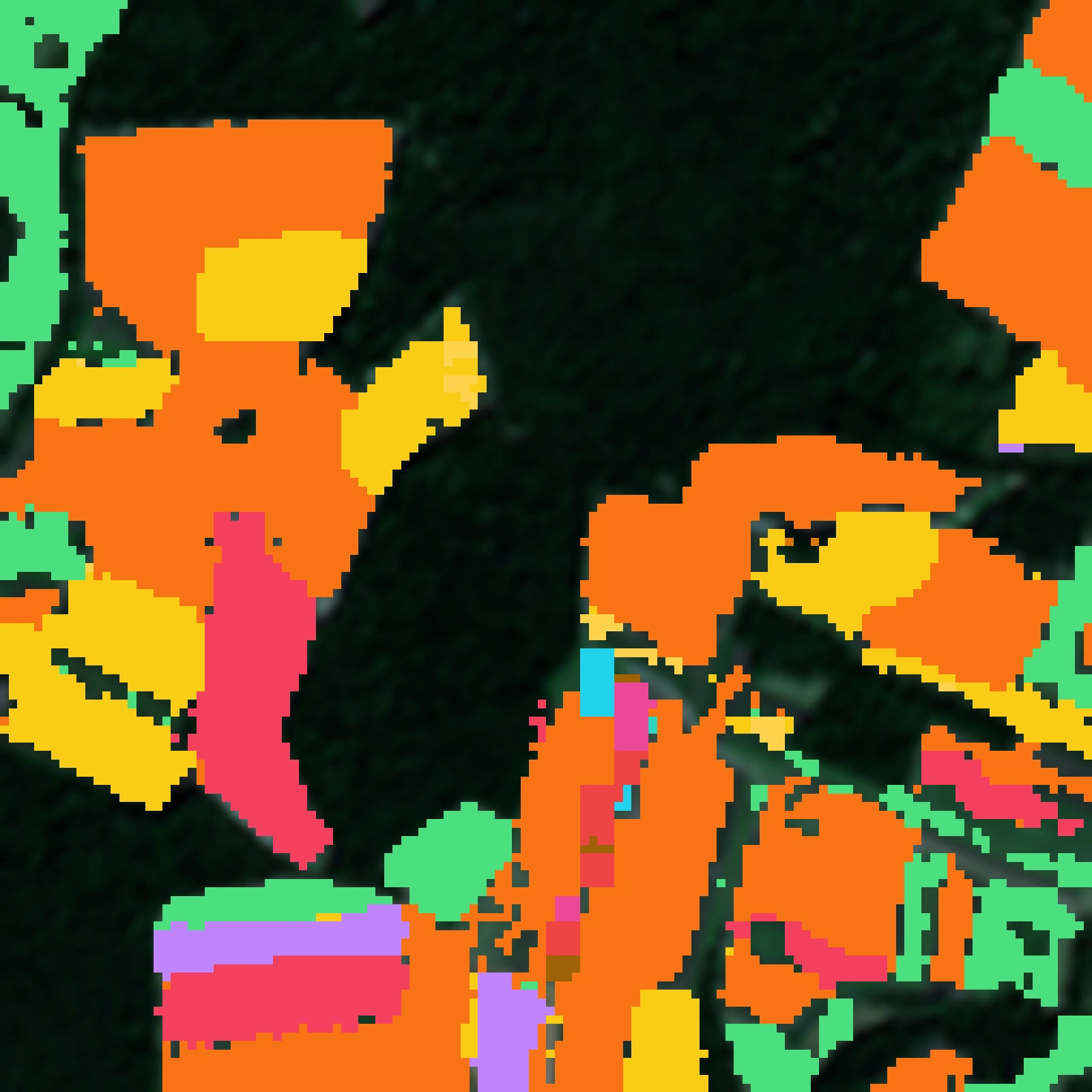
One crop map covers the whole season. Step through the months to see the fields change.
Crops through a season. PASTIS follows farm fields across France through a year of Sentinel-2 imagery and asks for the crop in every field. A crop is easier to tell apart over a season than in any single image, as fields green up, ripen and are cut at different times. Finch scores 50.4 on PASTIS, against 39.1 for AlphaEarth’s embeddings.
Crop mapping from radar. Radar sees through clouds, so it keeps watching fields through the rainy season when optical satellites cannot. On CropHarvest China, Finch maps crops from Sentinel-1 radar alone at 70.8, against 62.4 for OlmoEarth v1.3.
Crop mapping from radar alone
CropHarvest China, Sentinel-1 only, test set
Tomorrow we will show Finch finding places that look alike. The full results and how we compared are in the launch post.
Benchmarks: PASTIS and CropHarvest. Comparisons: OlmoEarth and AlphaEarth Foundations.
All posts